Mississinewa Battlefield (9-18-2010) Click On Pictures To Enlarge
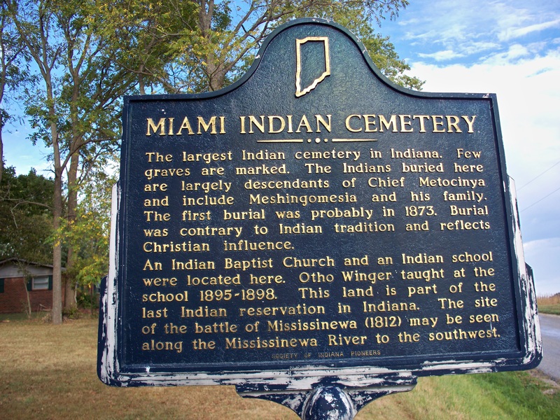
Today my mom wanted to take Cotton and Zoey "the dogs" out to exercise somewhere. Why not incorporate Geocaching into it? So thats what we did. After visiting a few different spots around the Missessinewa Reservoir I spotted a multi-cache (GCK86K) on my GPS. A multi-cache is just like a normal Geocache, except once you find the first cache you get a clue, in this case coordinates to, either the next stage, or the final Geocache. The fist stage of this cache brought us to this cemetery.
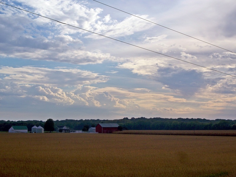
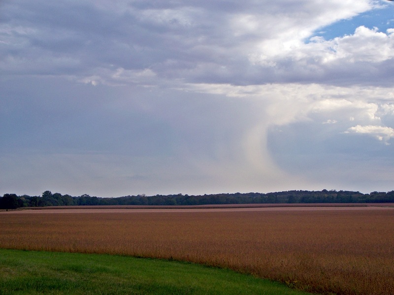
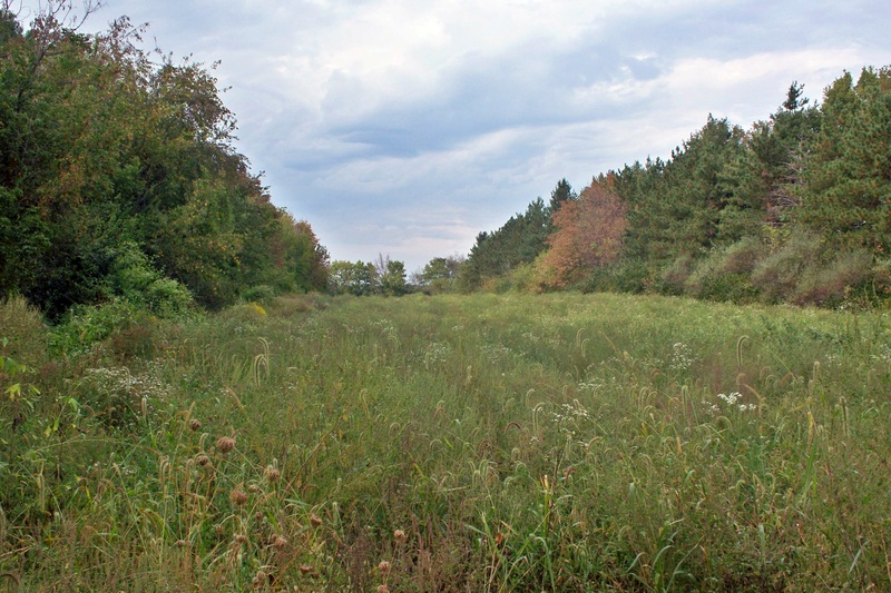
Below are two pictures of the countryside directly across the street from the cemetery. The rain shower in picture two had just passed over us a few minutes prior to this picture.
 |
 |
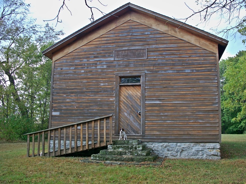
An old Miami Indian village school that now sits in the cemetery. Zoey decided that it was time for her to enroll. Below is a close-up of the sign above the door.

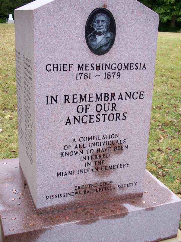
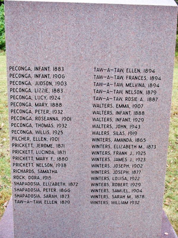
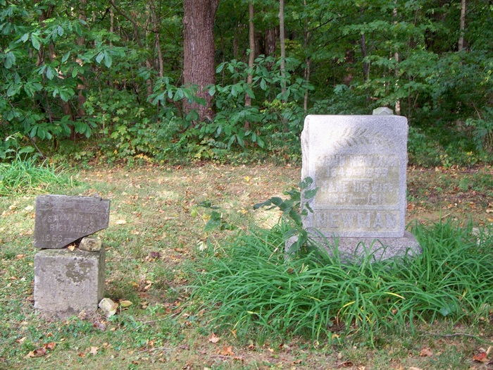
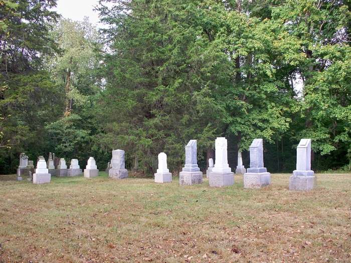
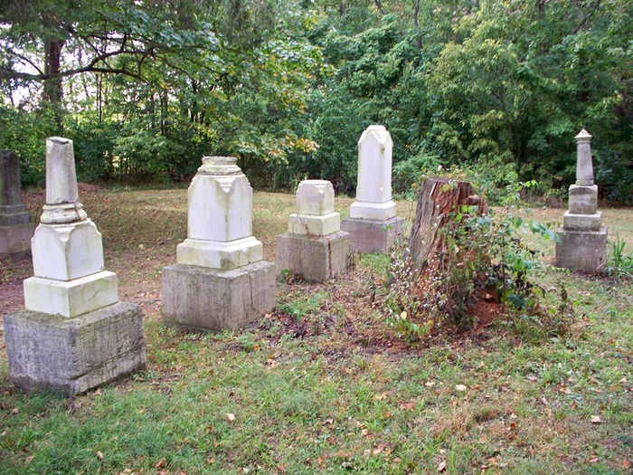
Below are pictures of some of the markers in the cemetery. I quickly located the coordinates that I needed for the Geocache and we were off to the battlefield. You can learn more about this cemetery HERE

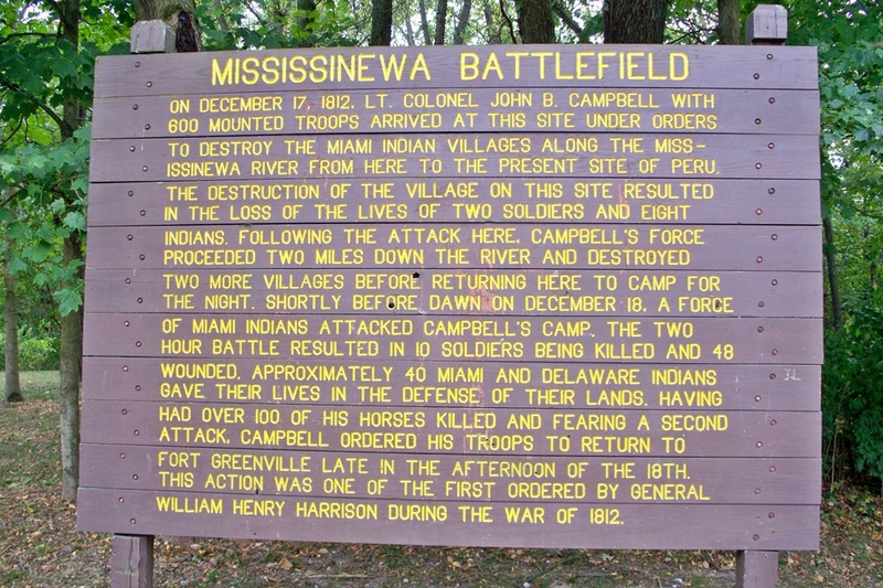
After finding the coordinates to the Geocache we headed for them. We ended up here. This is located less than a mile from the Indian cemetery.

There is something about this place, the air is heavy. This is the marker for the Indians who died on this battlefield.
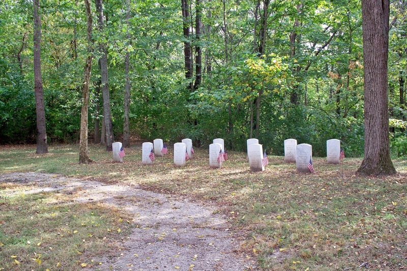
The graves of the fallen soldiers.
Below: The Battlefield

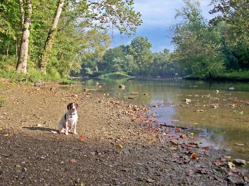
I did end up finding the Geocache that was here though I failed to take a picture of it, sorry. The Mississinewa River is located next to the battlefield. That is where we headed next. I am pretty sure that most of Indiana is in a drought right now, so river levels are really low.
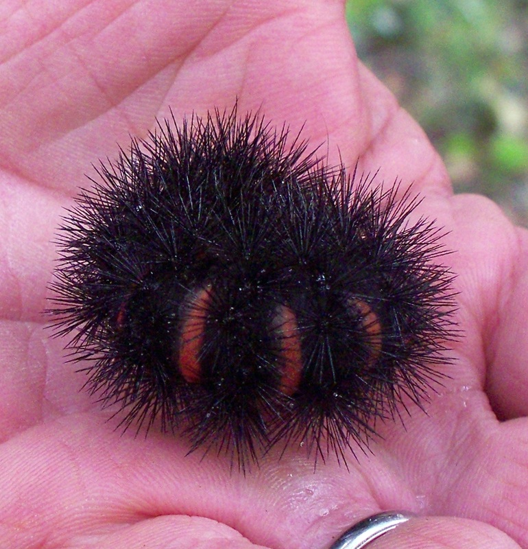
Dad holding a rather large Caterpillar we found.
Final Shot: The river, dark and rainy in the background, sunny where we were.. and oh, what is that I see? Looks like Zoey snuck into yet another shot... how does she do that!?