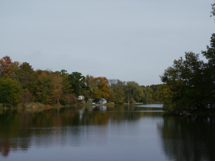
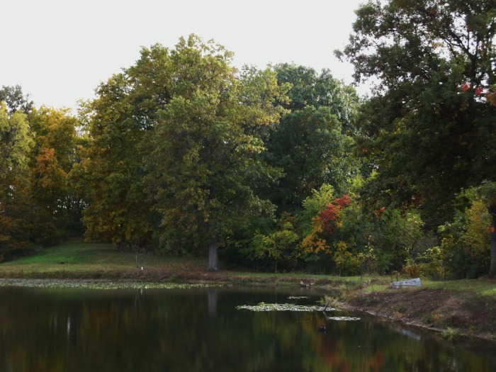
Barbee Lake, Whitley County, Huntington County, 10/13/09 (Click on pics for larger ones)
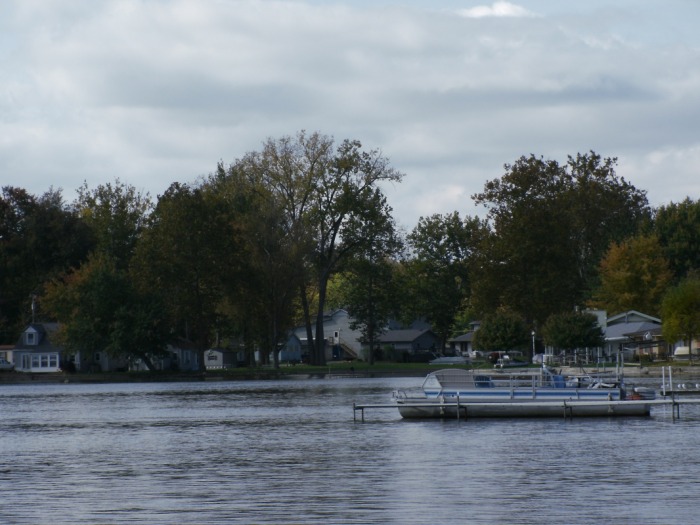
Today I hitched a ride to northern Indiana with my parents. They were going up to Barbee Lake to blow out the water lines on the summer place up there. I thought maybe I would be able to get some good fall pics so I went along. The pics I got were..ok, just not great. It was sunny for a couple of hours, but for most of the time that I was taking pictures it was cloudy. This picture on the left is of Barbee Lake today.
There were some colors to the leaves, still a lot of green in there though.
Just a little closer
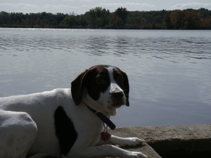
Zoey just had to get in a pic, she is starting to understand the whole pose routine.

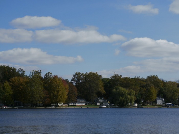
Looking, with zoom, across the lake.

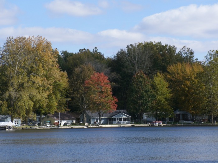
I found 1 tree with brilliant color! This one is right in front of our trailer, and it is the only one on the drive that looked like this. Zoey can be seen at the bottom and my dad is standing on the right.
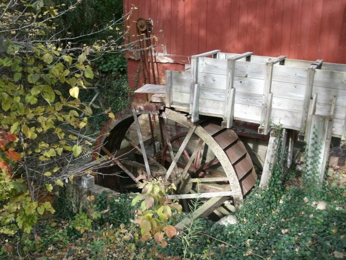
After leaving the lake we decided to do some geocaching on the way home. Our first stop was at this little place called Wilmot Mill. Located along highway 5 about 4 miles east of Barbee Lake. We had never heard of this place before. Turned out to be pretty cool, and got some halfway decent pics. This one is of the mill itself. Supposedly this is restored mill that is now in working order again, however it was not, and no one was around on this Tuesday afternoon.
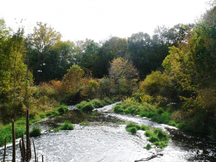
Just a shot of the Tippecanoe River, running alongside the mill. I dont like the lighting on this, I played with it a bit but I think I just made it worse.
This is Wilmot Pond, located across the street from the mill and the river. I like the trees in this one. I would like to be here in about another week or so to see the difference.
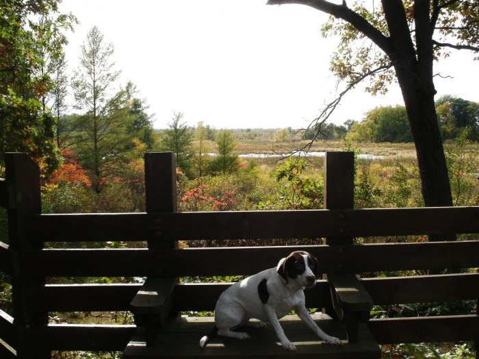
After leaving the mill area we headed a few more miles south along Highway 5. This is the Pisgah Marsh Boardwalk. Me and my mom had been here a few weeks ago but we wanted to show my dad. Zoey can be seen begging not to have another picture taken of her in this photo.

A view of Pisgah Marsh
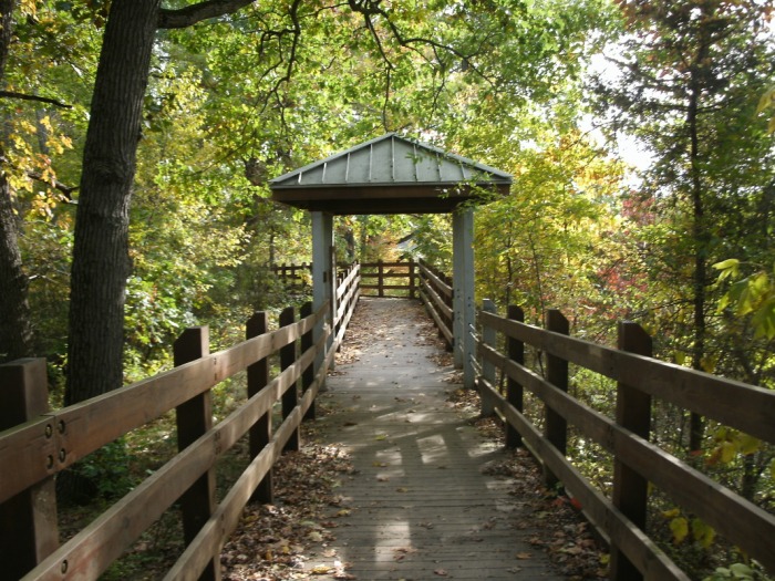
The Boardwalk

Beaver dam in the middle of the marsh.
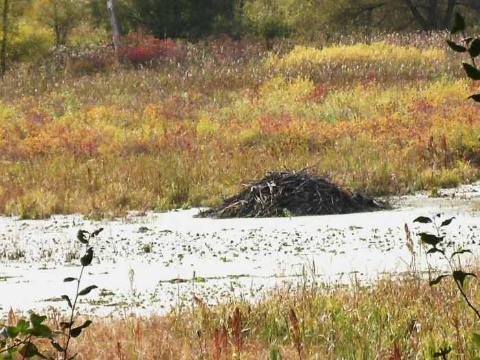
Zoomed in view of the beaver dam.
This was taken along the road leaving Pisgah Marsh.

After leaving the marsh in the rear-view mirror we went farther south down highway 5, into the tiny town of Larwill Indiana where there was supposed to be a geocache on this bridge. Didn't find the cache, but did get this cool pic ;) A lot of green left here.
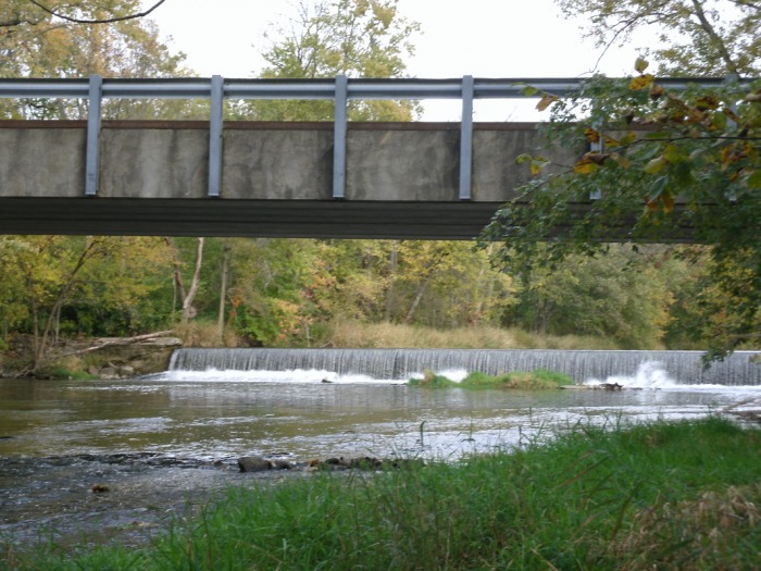
Another geocache spot out in B.F.E. This was just off of highway 14, just West of South Whitley. This is the Eel River, and cool little waterfall.
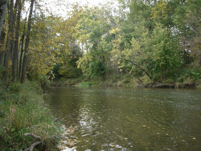
Looking downriver, this looks more like a summer shot than a fall shot.
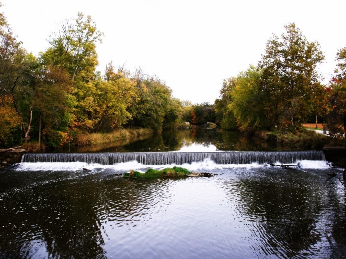
Looking upstream towards the falls.
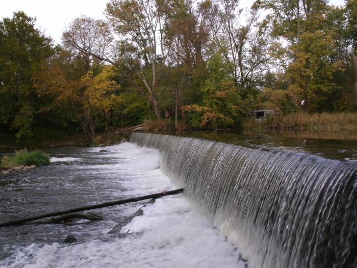
Standing right next to the falls, this place was pretty cool.
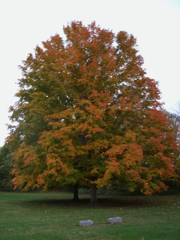
Last one, I spotted this tree in a cemetery in Andrews Indiana. I did not take the 4 or 5 pics that I normally take of things (so I can pick the best one) Only 1 shot, and its a little blurry.
HTML Comment Box is loading comments...
